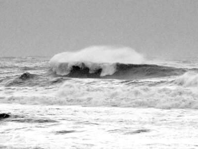
This surge, in combination with a rare storm force cut-off low forecast to intensify offshore from the Carolinas, will build a near epic (depending on local wind conditions) NE swell into mid-week
TUESDAY: Nippy wind backing N/NNW and "easing" to 12-20 mph with waves leveling off by morning at 4-6' (occ +) in bumpy SIZEABLE NE swell. Increasing clouds and coastal "wrap-around" showers will be possible as the low approaches north Florida.
WEDNESDAY: Wind NW/N 7-16 mph with waves 2-4' (Occ + still possible am) in cleaner, residual long period NE ground swell.
THURSDAY: Wind NW/N/NE 5-13 mph with waves down some more but still a respectable 1.5-occ 3' in clean residual long period ENE ground swell.
Extended Forecast & Tropical Wx Discussion
The consensus from atmospheric experts is that we should expect a full-on, busy '07 hurricane season:
pic from this morning